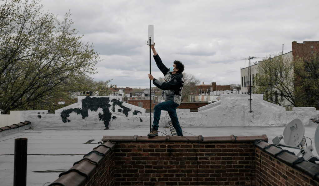
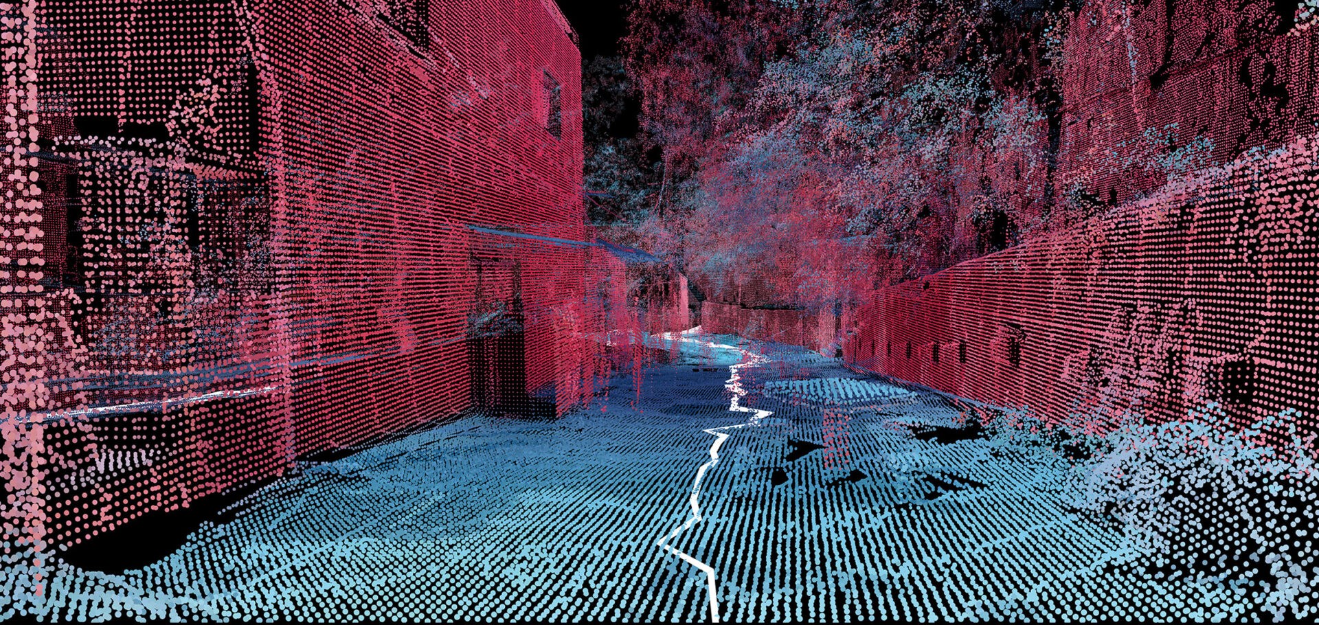
Futures of urban tech

By Patrick Tanguay|2022-08-05T08:20:45-04:002 November 2021|Technologie|

Excellent research project on urban tech by the Jacobs Institute’s Urban Tech Hub at Cornell Tech, presented as an horizon scan plotting possibilities in the field of urban tech. Note that these are provocations, not predictions, in other words, ideas to consider, to be used in furthering discussions and reflexions.

  • Daniel Heredia working this spring to bring inexpensive Wi-Fi to a building in Brownsville, Brooklyn.Credit...Jose A. Alvarado Jr. for The New York Times

Guerilla Wi-Fi

By Patrick Tanguay|2022-06-20T04:57:56-04:0022 July 2021|Technologie|

They’ve been around since the early 2000s but have never gained much prominence since most of them are operated by volunteers and often face policy and lobbying headwinds. However, that kind of community infrastructure remains important as decent Internet becomes an ever more essential part of every day life but is not evenly distributed across neighbourhoods. ‘Welcome to the Mesh, Brother’ is a good article on the topic that shows how they work, but perhaps more importantly how oligopolies—in this case in New York but it’s a common issue elsewhere—still have to be forced into providing quality service in less affluent parts of the city and constantly delay.

  • MIT Senseable City Lab maps Brazilian favela with handheld 3D-scanners

Mapping informal settlements

By Patrick Tanguay|2022-05-31T07:51:24-04:0010 June 2021|Innovation, Technologie|

A team at the MIT Senseable City Lab mapped a Brazilian favela with handheld 3D-scanners. I’ll be honest, part of why I’m blogging this is that it just looks very cool! Called Favelas 4D, the project uses point cloud data from handheld LiDAR (Light Detection and Ranging) scans in order to study the form of Rocinha, a favela in Rio de Janeiro. The low-income urban settlements have complex structures that are built by their inhabitants over time. […] Fajardo entered Rocinha on foot and captured the data with a handheld LiDAR device that uses a laser pulse to measure distances. Tiny points are mapped to locations in space to create a dataset that reveals the intricate details of a 3D environment.

  • Reuse.city online co-design lab

Reuse.city online co-design lab

By Patrick Tanguay|2021-04-27T03:34:05-04:006 April 2021|Technologie|

It’s starting today so perhaps it’s getting a little late for readers to free-up some time to participate but Felipe Schmidt Fonseca, a PhD researcher at Northumbria University, is launching a very interesting online co-design lab which will run all month.

Go to Top